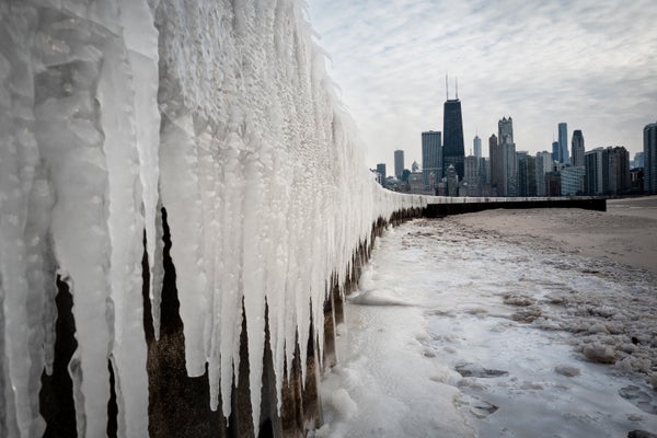
Last week people in eastern Nebraska experienced freezing temperatures in the –30s Fahrenheit and wind chills in the –60s F. Schools were cancelled because of the extreme Arctic chill. Then, on Sunday, “I walked around the lake, and it was 57 degrees [F], and people were in shorts and T-shirts,” says Van DeWald, a lead meteorologist at the National Weather Service’s (NWS’s) office in Omaha.
For Omaha and other places in and around the High Plains, temperatures have swung by 75 to 100-plus degrees F in just under a week. Other parts of the central and eastern U.S. have also seen a substantial warm-up, though more on the order of 20 to 30 degrees F.
Last week’s big freeze came courtesy of an air mass moving southward from Canada, bringing with it extreme cold and high winds. Several places set daily temperature records: Bismarck, N.D., set a record of –39 degrees F on February 18 (besting one of –37 degrees F set in 1910). And on the same day Minot, N.D., saw a record of –33 degrees F (breaking one of –27 degrees F set in 1903). Temperatures in the High Plains were 30 to 40 degrees F below normal, says Matthew Johnson, a meteorologist at the NWS’s Bismarck office. Outbreaks of extremely cold Arctic air aren’t unusual in the region. “That happens every one to two years, that we get that cold,” DeWald says.
On supporting science journalism
If you're enjoying this article, consider supporting our award-winning journalism by subscribing. By purchasing a subscription you are helping to ensure the future of impactful stories about the discoveries and ideas shaping our world today.
Now the area is seeing temperatures in the 60s and even the 70s F, “a good 25 to 30 degrees [F] above normal,” says Brian Hurley, a senior meteorologist at the NWS’s Weather Prediction Center. He explains that the meteorological seesaw is linked to a change in air patterns higher in the atmosphere: there a region of lower pressure that brought winds from the northwest has retreated, allowing a flow of warmer air from the south and southwest.
Though the temperatures swings are sizable, they’re not entirely unexpected at this time of year: weather generally becomes more changeable during meteorological spring, which begins on March 1. “We can kind of fluctuate pretty violently during this transition season,” Johnson says.